Thamesmead, Londen (GB)
Greater London Council
Samenvatting
Onder leiding van de Greater London Council (GLC) werd midden jaren 1960 een programma en ontwerp opgezet voor een New Town in oostelijk Londen voor maar liefst 60.000 inwoners: Thamesmead. Na de eerste Wereldoorlog was de GLC begonnen aan de grootscheepse sloop van de voor de arbeidersklasse gebouwde Victoriaanse rug-aan-rug woningen in de sloppenwijken van de binnenstad. Dit proces van slum clearance (ontkrotten) werd voortgezet in de jaren 1950, 1960 en 1970. Thamesmead was onder andere bedoeld voor de herhuisvesting van families uit de gesloopte buurten. Als locatie voor de nieuwe woonwijk werd het in onbruik geraakte terrein van het Woolwich Royal Arsenal gekozen. Dit van oorsprong laaggelegen moerasgebied tussen de rivier de Theems en de heuvels van Abbeywood werd jarenlang vermeden als grootschalig ontwikkelingsgebied vanwege de slechte bodemgesteldheid en het overstromingsgevaar. Gebrek aan ruimte en hoge druk op de woningmarkt gaven echter de doorslag om ondanks de risico’s deze locatie toch te ontwikkelen.
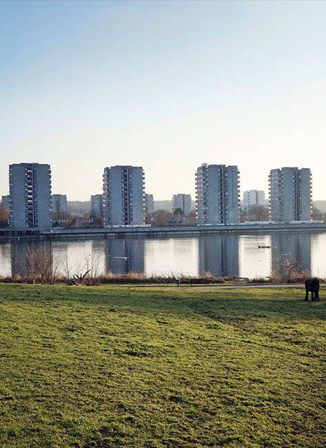
Anders dan de al in die tijd als monotoon ervaren eerste generatie New Towns in Engeland moest Thamesmead het voorbeeld worden van de nieuwe ideaalstad met een grotere diversiteit aan bebouwingstypologieën, maar ook meer ruimte voor werkgelegenheid en voorzieningen. Het oorspronkelijke masterplan uit 1967 laat een groot aantal lange, meanderende blokken zien, de zogenaamde spine blocks die de ruggengraat van de wijk vormen: een lange slinger van bebouwing langs de Theems met aftakkingen landinwaarts, die samenkomen in een groots centrumgebied rondom een jachthaven aan de rivier. De spine blocks vormen een winden geluidsbuffer voor de achtergelegen laagbouwbuurtjes en bieden tegelijkertijd via een intern stelsel van opgetilde voetgangerswegen een verkeersveilige route vanuit de woonbuurten naar het centrum.